| |
|
|
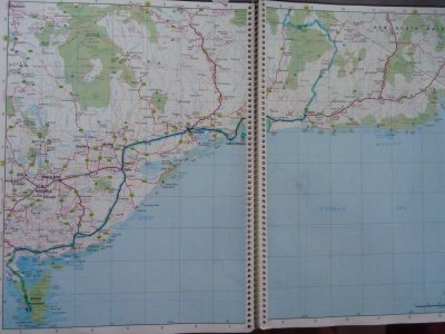
| Pinch River to Lake Tyers |
|
Week 5 - July 26th 2010 |
| |
|
|
 |
|
Pinch River via McKillops Bridge, Orbost, Lake
Tyers.
Hema 7 Pages 50-51 |
| |
|
|
 |
|
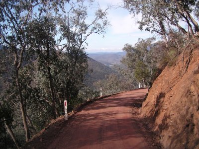
More of the Barry Way. Its quite long, twisty, narrow, and
made us nervous a few times. Particularly when Ali looked down.
Apart from that there's lots of camping and great scenery. |
 |
|
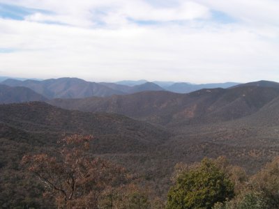
Endless country photographed from the roadside. The
unlikely sounding Tulloch Ard Gorge is over there somewhere. Serious white
water kayaking but otherwise innaccessible. |
| |
|
|
 |
|
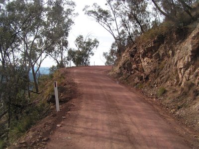
Similar road to the Barry Way, this is on the way to
McKillops Bridge. The road has been cut out of the side of the hill, with
the occasional bluff. Just as well we didn't meet any traffic. |
| |
|
|
 |
|
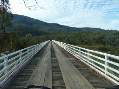
And the photo of McKillops Bridge that everyone takes.
Built in the 1930's its the only bridge over the Snowy River for a very
long way. A significant engineering feat at the time.
We camped at Armstrong Track, just East of the bridge. Flatter than the
main camp site.
A sense that the weather was closing in with several cold wet fronts
due, plus a few road closures from the last rain, meant we drove down the
Bonang - Orbost road and headed to Lake Tyers. |
| |
|
|
 |
|
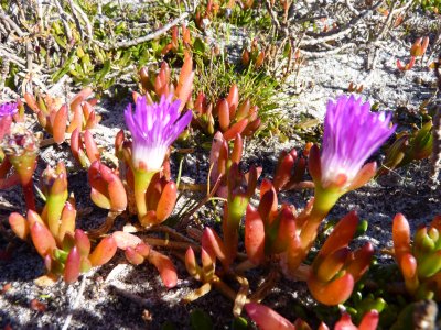
At Lake Tyers the flora is coastal, capable of withstanding
salt.
These are Pig Face. Some of the plants we saw we later recognised on salt pans and
marshes in the centre of Oz. This one we saw again at Hattah Lakes. |
| |
|
|
 |
|
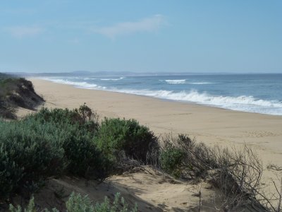
Endless beach. It didn't seem to matter how far we walked,
everything was just as far away as when we started. Apart from where we
came from that is.
We were sand blasted and soggy when a shower passed over on one walk.
Just East of Ninety Mile Beach and Lakes Entrance. |
| |
|
|
 |
|
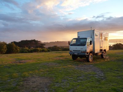
Even the truck enjoyed the sunsets at Lake Tyers. Idyllic.
We camped here for three days. |
| |
|
|
 |
|
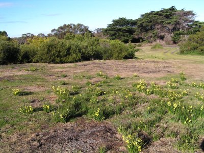
Totally out of place were the daffodils and pine trees.
The campsite was next to the glass house. Someone once used local sand
to produce glass. We guessed they became homesick and planted the
daffodils. |
| |
|
|
| Wilsons Promontory to Cuppa and Mrs T's Country Retreat |
|
Week 6 - August 2nd 2010 |